|
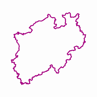
Width: 400 Height: 400 Extent:
YMin: 5535230.716588322 XMax: 569798.201411678 YMax: 5862660.9514116775 Spatial Reference: 25832 (25832) LatestVCSWkid(0) Scale: 3093822.8027989203 |
| ArcGIS REST Services Directory | Login |
| Home > services > Landesgrenze_NRW (MapServer) > export | API Reference |

|
Width: 400 Height: 400 Extent:
YMin: 5535230.716588322 XMax: 569798.201411678 YMax: 5862660.9514116775 Spatial Reference: 25832 (25832) LatestVCSWkid(0) Scale: 3093822.8027989203 |