|
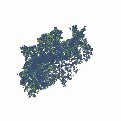
Width: 400 Height: 400 Extent:
YMin: 5502891.208929728 XMax: 623848.4040481121 YMax: 5902518.674851326 Spatial Reference: 25832 (25832) LatestVCSWkid(0) Scale: 3776000.0000000005 |
| ArcGIS REST Services Directory | Login |
| Home > services > 5G_Abdeckung_NRW (MapServer) > export | API Reference |

|
Width: 400 Height: 400 Extent:
YMin: 5502891.208929728 XMax: 623848.4040481121 YMax: 5902518.674851326 Spatial Reference: 25832 (25832) LatestVCSWkid(0) Scale: 3776000.0000000005 |