|
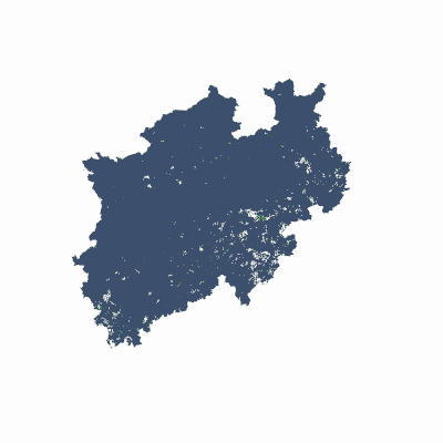
Width: 400 Height: 400 Extent:
YMin: 5492503.648361273 XMax: 614286.3063027435 YMax: 5890965.03263344 Spatial Reference: 25832 (25832) LatestVCSWkid(0) Scale: 3764981.927710846 |
| ArcGIS REST Services Directory | Login |
| Home > services > 4G_Abdeckung_NRW (MapServer) > export | API Reference |

|
Width: 400 Height: 400 Extent:
YMin: 5492503.648361273 XMax: 614286.3063027435 YMax: 5890965.03263344 Spatial Reference: 25832 (25832) LatestVCSWkid(0) Scale: 3764981.927710846 |